Hunting
The Arcadia Valley Area has some of the best hunting land in Missouri. With the various terrain of the St. Francois Mountains and Ozark Valleys brimming with forests, rivers, lakes and streams; this diverse habitat provides homes for a multitude of wildlife.
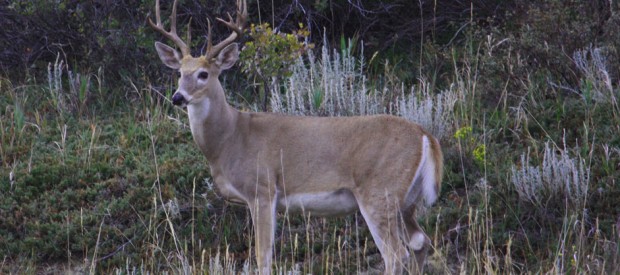
The Iron county section of the Mark Twain National forests are some of the best hunting grounds in Missouri. Deer, turkey, quail, ducks, geese, rabbits, raccoons, and squirrels are just a few of the species that abound in these beautiful forests and lakes.
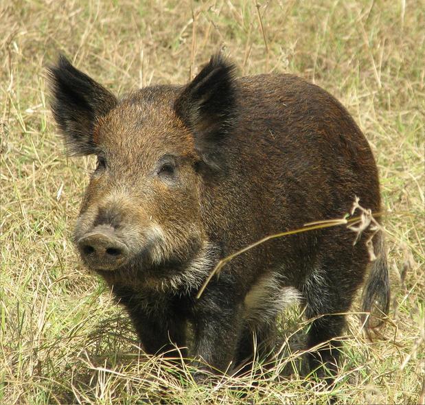
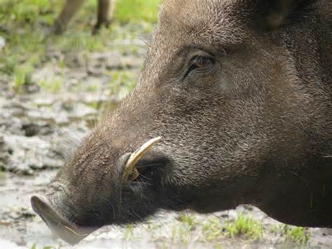
In addition, hog hunting in Iron County is quickly gaining popularity, with some of the best hog hunting areas in Missouri. The Missouri Department of Conservation has given open season year round on the hunting of feral hogs, with no permit requirements (except during turkey and deer seasons). This allows for open hunting on both private and public lands. There are groups in the area that are continually organizing hog hunts. Consider grabbing a few friends and coming to the Arcadia Valley area to help manage the feral hog population. We even have all of your needed hunting supplies at Arcadia Valley Sporting Goods, which boasts of having over 1900 guns in stock.
Staying at Fort Davidson Hotel keeps you in the center of these great hunting areas in Arcadia Valley. Experience a great day of hunting followed by a restful nights sleep. Happy Hunting!

Johnson’s Shut Ins
Play in the shallows of the East Fork of the Black River. Shoot through natural hydraulics in the shut-ins. Hike a trail that will show you geologic wonder. The swift waters of the Black River flow through a canyon like volcanic gorge, called a “shut-in” creating a beautiful photographic and swimming opportunity. The park is also Missouri’s most botanically diverse state park. Johnson’s Shut Ins is a jewel of the system, a place with something for everyone: pretty picnic areas, Ozark landscapes, natural places to swim, great campsites. (13 miles from Elephant Rocks on Hwy N, 15 miles from Pilot Knob)
https://www.youtube.com/watch?v=JDIqQk1WUrs&t=58s
Johnson’s Shut-Ins State Park in USA
Most of the park, including the shut-ins and two miles of river frontage, was assembled over the course of 17 years and donated to the state in 1955 by Joseph Desloge (1889–1971), a St. Louis civic leader and conservationist from the prominent Desloge lead Mining family, which has continued over the years to donate funds for park improvements.
On December 14, 2005 the park was devastated by a catastrophic flood caused by the failure of the Taum Sauk pump storage plant reservoir atop a neighboring mountain. Part of the damage was the eradication of the park’s campground, but being a weeknight in December, the campground was unoccupied; the only people at the park were the park’s superintendent and his family; the family survived, sustaining some injuries. The park was closed because of the extent of the damage it received.
The park partly reopened in the summer of 2006 for limited day use, but due to dangerous conditions, swimming in the river and exploring the rock formations was prohibited. In 2009 the river and shut-ins were reopened for recreation in the water. A new campground opened April 30, 2010. The park is now fully functional including extensive trails, some paved and others rugged. Activities abound for any outdoor enthusiast. Come and enjoy Johnson’s Shut-Ins State Park.
Elephant Rocks State Park
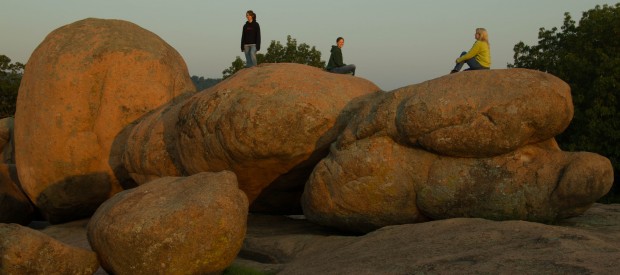
The giant elephant-shaped granite boulders are the star at Elephant Rocks State Park. The coarsely crystalline red granite forms are popular with all ages. The park has a trail that winds through the rocks, which is an interpretive Braille trail. Abundant picnic areas and vibrant fall colors add to the park’s appeal. Elephant Rocks State Park is within miles of well known Johnson’s Shut-Ins State Park and Taum Sauk Mountain State Park, Missouri’s highest point.
(Hwy 21, 3 miles north of Pilot Knob in Graniteville)
Elephant Rocks State Park – top view, water pools/engraving in USA
The park has thirty picnic sites and a one-mile (2 km) circular interpretive trail in the Elephant Rocks Natural Area. This trail is called the Braille Trail and is unique among Missouri state parks in being designed specifically for visitors with visual and physical handicaps. There are several spur trails which are not handicapped accessible. Each of these spur trails has its own unique feature. One spur passes through “Fat Man’s Squeeze,” a narrow gap between two boulders, leading hikers to the old quarry. Another spur goes through “The Maze,” a 100-foot (30.48 meter) section of scattered boulders. Within the maze is a semi-enclosed area called “The Devil’s Kitchen.”
Since no official census of the herd has ever been taken, the exact number of “elephants” inhabiting the park is unknown. Although the elephant rocks are continually eroding away, new elephants are constantly being exposed. Information collected on Dumbo, the patriarch of Elephant Rocks State Park, shows that he is 27 feet tall, 35 feet long and 17 feet wide. At a weight of 162 pounds per cubic foot, Dumbo tips the scales at a hefty 680 tons.
Just outside the park is the oldest recorded commercial granite quarry in the state. This quarry, opened in 1869, furnished facing stone for some Eads Bridge piers across the Mississippi River, and from 1880 to 1900, millions of paving blocks for the St. Louis levee and downtown streets came from this quarry. Other nearby quarries supplied granite for many major St. Louis buildings, as well as stone for the turned columns on the front porch of the Governor’s mansion in Jefferson City. Today, this granite is used primarily for monuments and building veneer.
Numerous picnic sites among the giant red boulders provide ample opportunity for family picnicking and exploration of the elephant rocks. Camping is not available in Elephant Rocks State Park, but can be found in several nearby state parks. Pets must be on leashes. Rock-climbing equipment is not to be used in the park.
Taum Sauk Mountain State Park
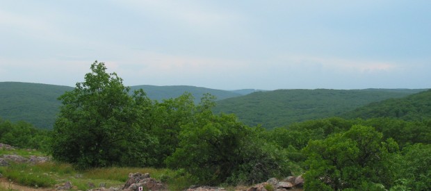
Climb to the top of Taum Sauk Mountain State Park and be on top of Missouri – literally. The park’s 7,500 acres include the highest point in the state. Located in the St. Francois Mountains, the park’s glades provide a beautiful, solitary experience for hikers. A series of trails, including a portion of the Ozark Trail, wind through the park’s picturesque setting and provide awesome views of the surrounding countryside; including the state’s tallest waterfall & its deepest valley which can all be seen on an afternoon hike. 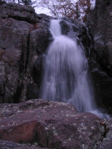 (8 miles south on Hwy 21, then take Hwy CC)
The park has a rustic campground, a paved trail to the highpoint, picnic facilities, and a lookout tower from which a good view can be had; the dense forest on the mountain obscures the view from most other vantage points.
Mina Sauk Falls, the highest waterfall in Missouri, is on Taum Sauk and can be visited by hiking a rugged trail that makes a three-mile (5 km) loop from the highpoint parking area. The falls have cascading waters only during times of wet weather; at other times they are reduced to a trickle or less.
The Taum Sauk Section of the Ozark Trail is 35 miles long and runs through the heart of the ancient St. Francois Mountains. One of the most popular and scenic portions of the Taum Sauk Section is the 14.5 miles between Taum Sauk Mountain State Park and Johnson’s Shut-Ins State Park. This rugged portion of trail through two state parks winds across mountains of oak-hickory woodland dotted with shortleaf pine trees, bluffs and rocky glades.
Head south on State Route 21 from Arcadia, Missouri for about 4 and a half miles. Turn right onto Highway CC which is signed for Taum Sauk Mountain State Park. Along Highway CC you will see an Adopt-A-Highway sign listing the highpointers club and it’s founder Jack Longacre who apparently lived in this area. After a few miles the pavement will end near a fork in the road. To the left is a lookout tower with wonderful views, to the right is Taum Sauk Mountain State Park. Once in the park there will be a viewing platform on the right side of the road that includes a panoramic photo labeling the peaks and valleys before you. At the end of the road is parking for many vehicles.
Fort Davidson Historic Site
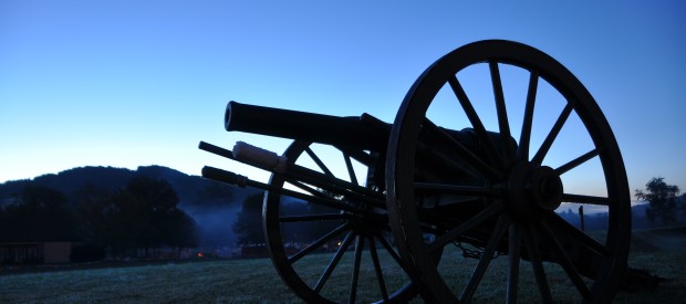
The Confederates under Gen. Sterling Price may have taken the fort, but Union efforts at Fort Davidson in the Battle of Pilot Knob were crucial to blunting the last Confederate offensive into Missouri. Fort Davidson State Historic Site preserves and interprets the running battle through the Arcadia Valley. The site’s open, grassy fields include the fort’s old earthworks, two Confederate burial trenches, and a visitor center with a narrated story of the battle. (in Pilot Knob on Hwy 221)
Every three years, 10,000+ visitors gather in September for the re-enactment of the Battle of Pilot Knob. In 2014, the 150th anniversary was celebrated by a week long series of concerts and lectures, culminating in the weekend battle re-enactment. Over 25,000 visitors attended this anniversary event. The next re-enactment will be in September, 2024.
Fort Davidson Historic Site winter hours – CLOSED on Mondays!

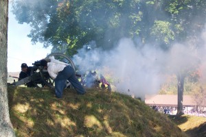 The original engagement occurred on September 27, 1864, just outside of Pilot Knob in Iron County, Missouri. Although outnumbered by more than ten-to-one, the Union defenders managed to repulse repeated Confederate assaults on their works, and were able to slip away during the night by exploiting a gap in the Southern siege lines. The attacking Rebels took possession of the fort the next day, but Price’s profligate expenditure of men and ammunition ended his goal of seizing St. Louis for the Confederacy.
Today, the battle area and a museum is operated by the Missouri State Parks system as “Fort Davidson State Historic Site”. The earthworks of the fort are still generally intact, surrounding the huge hole that was caused by the powder explosion. Following the battle, the Confederates retained the field and were therefore responsible for burying the dead. One of the rifle pits was accordingly selected for use as a mass grave. Although the exact number of Confederate casualties are unknown, park historians estimate that total Southern casualties were approximately 1,000. This compares to 200 Union casualties, 28 of whom were killed. The mass grave is now marked by a granite monument. The site is listed on the U.S. National Register of Historic Places.
Marble Creek Recreation Area
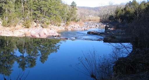
The attractively colored dolomite, from which the area is named, can be seen as well as remains of a grist mill and dam. Swim in the old mill pool where the creek was once harnessed to power the mill. Enjoy picnicking, hiking, biking or fishing!
(15 miles on Hwy E)
This area with its beautiful creek, camp and picnic grounds is located between Fredericktown and Arcadia, MO. Marble Creek, rushing 20 miles through the rugged St. Francis Mountains, is named for deposits of attractively colored dolomites which were mined and used in the building trade as “Taum Sauk Marble”. Within the recreation area, you can see the concrete remains of a grist mill dam and building foundation. This dam was the third to be built here and was operated until 1935. This quiet campground and recreation area is the main trailhead for the Marble Creek Section of the Ozark Trail. This 8-mile segment goes to Crane Lake and is open for hiking, equestrian and mountain bike use. Horses are allowed at trail head, but not within campground or picnic area.

Royal Gorge
A photographer’s paradise with its natural rock bluffs. This gorge is referred to as a shut-ins. Shut-ins occur where a broader stream is “shut in” to a narrow canyon-like valley. In Missouri, shut-ins typically are found where streams flow through softer sedimentary bedrock such as dolomite and then encounter more resistant rock like rhyolite. Rhyolite is considered an igneous rock, one formed from magma, molten rock.
Above the creek valley the vegetation is stunted growing on the open rhyolite rocks with a western exposure. These igneous glades provide harsh growing conditions. Short-statured and gnarled blackjack oaks are scattered across the rock outcrops.
Along the creek valley the rare winterberry and northern arrow-wood occur. Both of these species are only found in the Ozarks in Missouri and only at scattered locations along rocky streams such as this. They provide fruits valuable to songbirds.
In the creek lives the Big Creek crayfish. The world-wide distribution of this crayfish species is restricted to the St. Francis River basin of Iron, Madison and Wayne Counties. This crayfish prefers small, high-gradient rocky creeks. Unfortunately the introduction of crayfish species not native to the St. Francis River basin can cause problems for the Big Creek crayfish. Inter-basin transfers of crayfish species through bait bucket dumping and other methods have caused declines in many endemic crayfish populations.
(7 miles south on Hwy 21)
